

Free UK Canal and River map for Desktop, Android and iPhone / iPad – created through user contribution and Canal and River Trust Map Open Data

Would you like to try out the new iPhone version of open canal map? If so please email me – …
The information is back up on the map – updated once per day late morning. Happy boating!
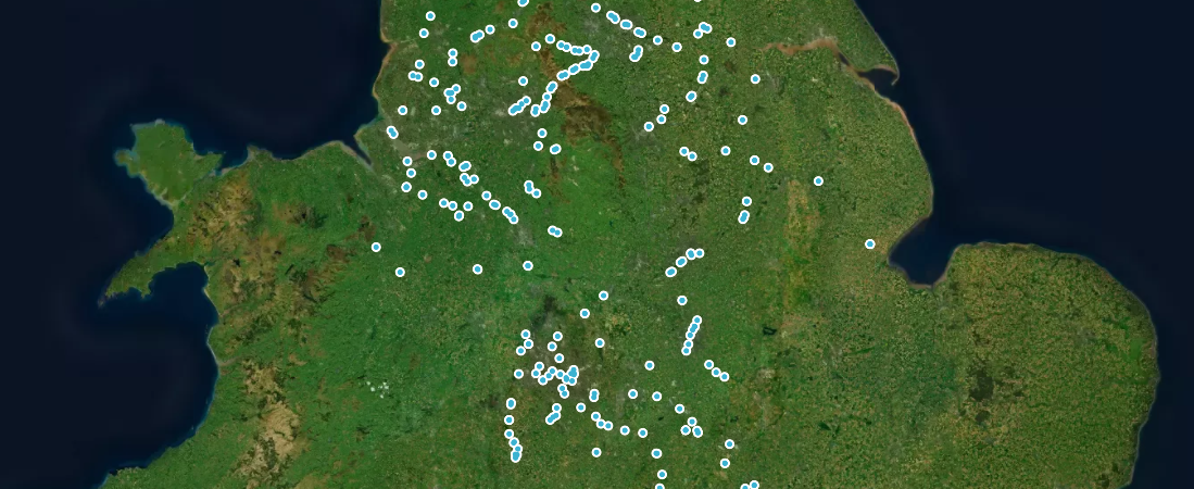
Apologies for the delay but stoppages are now fixed on the map and will be updated regularly.
I’ve just released an update to Open Canal Map for Android. It’s missing a few features but it won’t crash …

I’ve put together a map of this years winter stoppages programme. This will soon be available in the app with …


Here are links to install beta versions of the new version of canal map and the new walking app: Open …

https://play.google.com/store/apps/details?id=uk.opencanalmap.easywalkingmap.easy_walking_map

Added some rail routes and stations.
Currently free to beta test. Easy Walking Map combines OS, Public rights of way, OpenStreetMap and several other sources. https://play.google.com/apps/testing/uk.opencanalmap.easywalkingmap.easy_walking_map

This map is made using freely available map tiles from MapTiler / National Library of Scotland. You can also try …

The new release features: * Satellite mode* Wikipedia search* Long press on map to search any area* New search engine* …

Someone just sent a message (anonymously) asking to stop thier memebership payments. We don’t have memebership or take payments. This …

Try out Open Canal Map 2 in beta release. More features will be added over time. Currently this is just …

There are 2 ways you can support Open Canal Map. You can either make a one off donation here via …

Slowly progressing with the new app update. I’ve got the same thing running on iPhone an Android using Flutter libraries. …

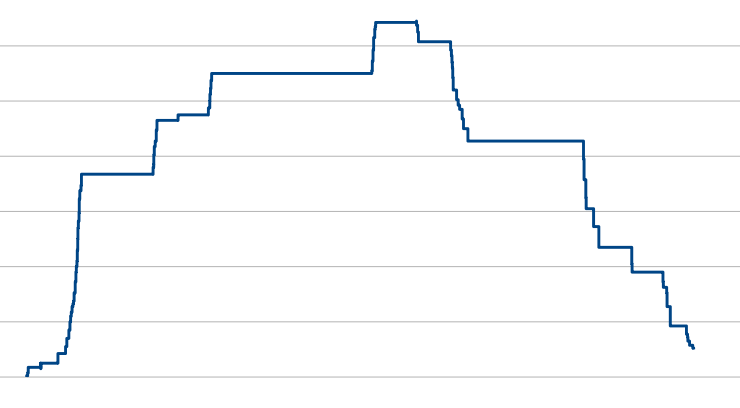
Guess the canal.

This was a bit of a faff but I’ve now got a script I can feed any Lat / Lon …

You can now see what 3 words names next to bridges. The emergency services understand these as so some delivery …

CRT updated their stoppages pages which I use to scrape information to make live updates to the map. It looks …

Nearly there with the new version – here is a preview – you can go full screen using the control.

Try Open Canal Map – the Mapbox version out in a web browser: Click here view the map

Up to date towpath closures are now imported every morning into Open Canal Map. They are marked on the map …

Canal and River Trust event notices can now be seen on the map.

You will find footpaths are now highlighted ordinance survey style. I’m looking to add more canal walking layers soon.

The Canal and River Trust Stoppages are now imported every day at 9:30am and then published on the map at …

This is still a little experimental but you are now be able to view Canal and River Trust stoppages in …

Lots of people have been requesting some form of scale to the map – and so I’ve now imported CRT …

Stephen Doyle (https://www.fourmilesperhour.com/) has been hard at work building the iPhone version of Open Canal Map – you can download …

It seems that Google have fixed the problem with the map loading issue. You can get the update by joining …

A recent update to Google Maps for Android seems to have broken the map for some users. I’m working on …

Many thanks to Stephen Doyle (https://www.fourmilesperhour.com/) who has started work on the iPhone version of Open Canal Map. Here’s a …

Background: I started a project last year – just a simple data mash-up on Google maps. It was popular and …
I have been asked by the Open Street Map Foundation to make clear that this project is not part of …

Just a quick test loading Canal Plan AC CSV files and animating the camera along the route.

Open Canal Map Android now available…

Download Open Canal Map on Google Play…

The Android app is nearly ready – currently alpha testing it on a few devices before it can become a …

Just a few screenshots from the new native android version of open canal map. This version will co-exist alongside the …
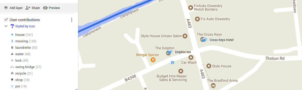
Had a bit of a pause on development for work commitments – but the user contributions have been steadily flowing …

After some tweaking and notably removing the towpaths from default view (you can still turn them on in the menu), …

This map combines Open Canal Map with the HS2 route published. Hope it helps you see where it’s going to …

Thanks to Duncan and John aboard Patience Afloat, Open Canal Map now features railway stations near the canal. Some are …

Thanks to everyone who added to the map – 391 places added: 117 Combined sanitary stations 80 moorings 61 Launderettes …

Added towing paths. Sourced from https://canalmap.net – Thanks to Richard for his work in building that and suggesting it to …

After just 18 days of release, Open Canal Map has seen 10,000 views and over 200 markers placed on the …

Thanks to Reg on “Canal World Forum” for pointing out we can take Open Canal Map away when there is …

So far we’ve had 136 user contributions to Open Canal Map! They’ve all been added to the map now so …

Added some more non Canal and River Trust waterways. These are sourced from an old project I downloaded a few …

Locks on the River Thames have been added to the map. These were sourced from Wikipedia then processed using a …

In the first week of making this map live we’ve received over 70 user submitted places ranging from water points …

Using some of CRT’s open data not previously imported – bridges, we now have movable bridges on the map. Putting …

View the map Tip – to load the map next time – go to “Your Places”: Click the 3 bars …

